Denver weather: Flooding could hit metro area Sunday with heavy rain expected in the afternoon, evening
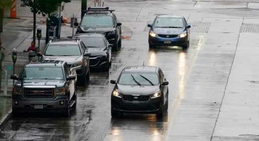
It could be a good day to hit the delay button on the sprinkler system, as weather forecasters call for heavy rain, potential flooding and likely thunderstorms across the metro area Sunday afternoon.
“We’re thinking all metro could get a half inch for sure, and some areas could get up one inch or two inches in core areas,” Bob Koopmeiners, a meteorologist with the National Weather Service in Boulder, said Sunday morning. “There could be some urban and small stream flooding.”
Koopmeiners said the window for the heaviest rain in metro Denver is between 4 and 9 p.m. Sunday.
Koopmeiners said areas south of the metro area, like the Palmer Divide, could see the heaviest rains Sunday. Motorists, he warned, should not attempt to drive through running water.
“It can pick up a car pretty easily,” he said.
Late Sunday morning, the Colorado Division of Homeland Security & Emergency Management, tweeted a high flood threat for portions of the Interstate 25 corridor and the eastern plains. Denver7 reported that the Cameron Peak and Calwood burn scar areas are included in Sunday’s potential flood area.
Koopmeiners said Sunday’s rain is a one-off, with a drier pattern of weather moving into the area after midnight and daytime temperatures heading back into the 90s this week.
“We’ll be coming into a drier period again, unfortunately,” he said.
Source: Read Full Article